
 Saved places
Dog-Friendly Walks and Woodlands in the UK
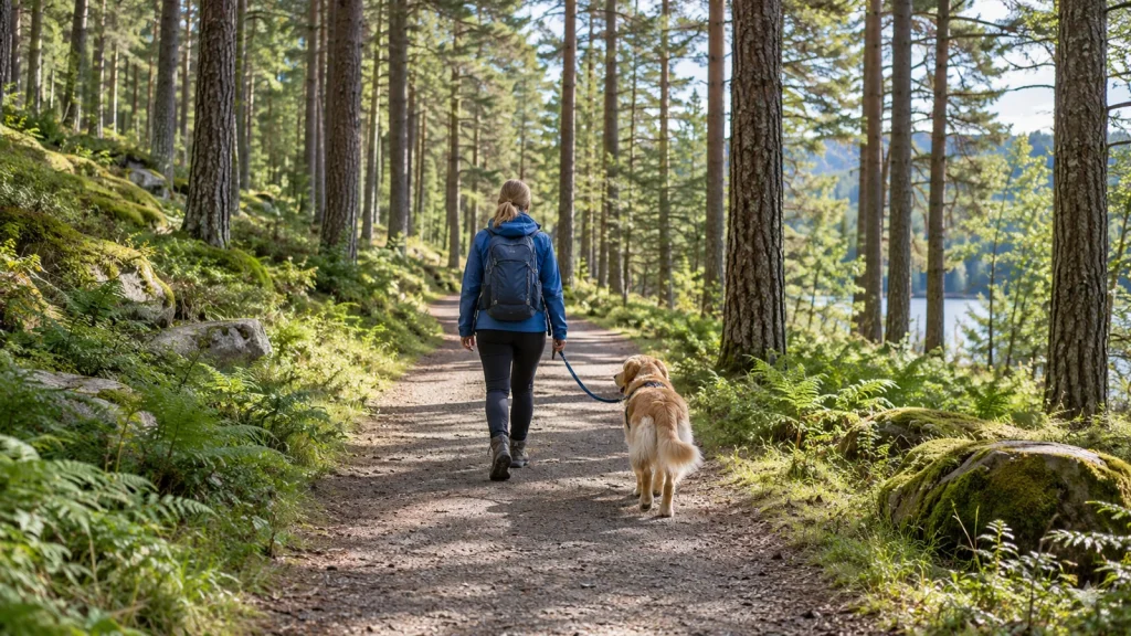
Plan a dog walk around the route or woodland you intend to use, its current access rules and a confirmed arrival point. Keep route records separate from destination records. A recorded line or map point helps you identify a place; it does not establish a safe route, an entrance or unrestricted off-lead access.
Choose between a route and a destination
A walking-route record describes a route, while a woodland or park record describes a place. Both can help with planning, but they answer different questions. Use the walks mode for routes and the woodland or park category for destinations. Read the policy and geometry information associated with the individual record rather than assuming the category establishes permission.
Where a route has geometry, it is recorded source geometry rather than a personal assessment of surface, gradient or accessibility. A woodland may have a large site footprint with several entrances. Ask the managing body for a suitable arrival point and current visitor instructions before treating an approximate site point as the start of a walk.
Read lead rules by area
Lead requirements can be specific to a path, visitor area, season or event. An off-lead statement for one part of a site does not apply automatically to another. Where the source describes named zones, use the woodland lead-rules guide to read the general permission and the individual restrictions together.
For a fuller context, consult the Countryside Code for visitors and the Scottish Outdoor Access Code dog-walking guidance where relevant. Those official resources and site-specific instructions are more useful than a generic assumption that every woodland follows the same rule.
Use official outdoor information
Forestry England and Natural Resources Wales records include official page links where their factual material has been extracted. Some pages give positive dog access, while others only offer control advice or do not state permission. The directory keeps that distinction: advice about dogs is not automatically evidence of a general dog welcome.
Newborough and Westonbirt demonstrate why zone details matter. At Westonbirt, different parts of the arboretum have different rules. Read the worked Westonbirt access example to see how named restrictions can sit within a broadly welcoming destination without becoming a site-wide rule.
Add a stop without assuming the journey
Choose a cafe or pub whose own policy fits the visit, then verify the journey between the two places. Nearby results and planner distances are straight-line estimates. They do not supply walking directions, journey times, parking suitability or a guaranteed accessible connection.
The walk-and-food-stop planning guide shows how to save a destination, add a suitable stop and keep a fallback in the plan. Recorded opening hours should be checked with the venue; they are not live kitchen or service availability.
Keep the practical details together
- Identify the exact route or named site.
- Check current dog access and named lead or seasonal rules.
- Request a suitable entrance and arrival instructions.
- Use current conditions and official visitor advice to assess your plan.
- Confirm each food stop independently and retain an alternative.
Keep what the directory records separate from what you have personally confirmed. This makes it easier to update a plan when a source changes or an essential detail remains unknown.
Explore woodland and route coverage
Also browse walking routes or parks with recorded dog acceptance. Public routes are counted separately from places and services; gaps in coverage should prompt a source check rather than an access assumption.
Explore matching listings
288 matching published records. These counts do not include source observations or unpublished discoveries.